Lower Mainland / experimental

See the situation, not just the pins.

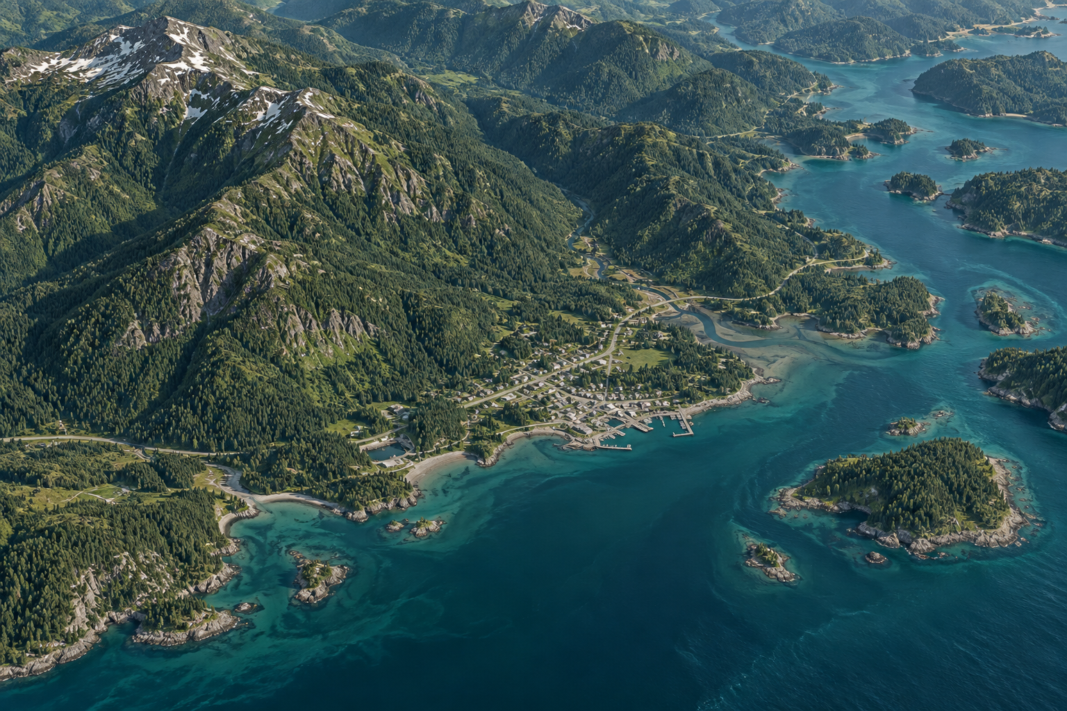
Snowy Owl is a terrain-aware 3D situational viewer for BC’s Lower Mainland. It assembles regional incidents, wildfire geometry, ground-level smoke context, public-camera locations, and available air and marine contacts in one navigable scene.

Authorization required · experimental viewer · not an authoritative source system

Illustrative composition · no live data shownAir / land / sea / context

  1. Google MapsWhere is it, and how do I get there?
  2. A typical dashboardWhich numbers or statuses changed?
  3. Snowy OwlHow do changing conditions relate across the landscape?

Different question / different tool

Geography is not a widget. It is the interface.

Snowy Owl does not try to replace route planning, business intelligence, or a configurable GIS platform. It starts from a narrower premise: operational context becomes more legible when distance, terrain, altitude, direction, and overlap stay in the same scene.

01 / WAYFINDING

Google Maps

“Where is it, and what route should I take?”

Excellent at places, routes, travel time, traffic, and nearby discovery. That is a different job from assembling an operational view of incidents and domain-specific overlays.

02 / MONITORING

Dashboards

“What changed, and which indicator needs attention?”

Charts, lists, gauges, maps, and tiles compress many signals onto one screen. Snowy Owl keeps the scene itself primary instead of treating geography as one panel among many.

Comparisons describe each tool’s primary interaction pattern, not its complete feature set. Basis: Google Maps Help · ArcGIS Dashboards · Power BI

Stories of use / exploratory

One scene. Several ways to ask a better question.

These are grounded walkthroughs of capabilities in the current prototype—not claims of response outcomes, source completeness, or operational validation.

Story 01Wildfire morning

A fire meets mountain terrain.

Start with a wildfire preset. Inspect active fire points, perimeters, evacuation geometry, and air-quality warnings against the terrain that shapes access and visibility. Add the optional ground-level smoke forecast image for another layer of context.

Shows
Fires, perimeters, evacuation areas, air warnings
Refuses
Smoke-plume or aircraft-mission certainty
Story 02Winter disruption

Separate feeds become one regional question.

Weather alerts, road events, power outages, and air-quality context can arrive from different public sources and at different scales. Snowy Owl places mappable signals into one regional scene, clusters them at wide views, and exposes the source and full detail on selection.

Shows
Where reports overlap across weather, roads, power, and air quality
Refuses
Predicted consequences or recommended actions
Story 03Vertical picture

The ground, air, and water occupy different space.

When feeds are available, airborne contacts sit at reported barometric altitude while vessels remain surface-relative and incidents follow the terrain. Vertical guides and depth testing reveal separation that a flat stack of pins does not express.

Shows
Reported altitude and surface heading when available
Refuses
Complete coverage, inferred direction, or inferred mission

Illustrative workflows based on features in the current build.

Current build / demonstrable

What ships in the prototype today.

The viewer is a self-hosted CesiumJS frontend with selected same-origin proxies to public terrain, imagery, camera, and operational feeds. Optional high-detail layers load only when requested.

01

Regional signals

Four native adapters currently poll DriveBC, BC Hydro, Environment Canada weather alerts, and Metro Vancouver–NW AQHI.

02

Terrain-aware placement

Ground layers drape or offset against real elevation, with a visibly reported flat fallback when elevation is unavailable.

03

True-scale altitude

Airborne contacts use reported barometric altitude while terrain depth testing hides below-ridge geometry.

04

Active incident scene

Severity-coloured points, priority-height columns, clustering, decluttered labels, and selectable detail.

05

Wildfire operations

Active fires, perimeters, evacuation areas, air-quality warnings, and cautiously framed aircraft proximity.

06

Air and marine contacts

Aircraft and vessels where source data is available, with neutral symbols when heading or live coverage is absent.

07

Camera calibration lab

City traffic-camera locations and current stills, plus an explicitly uncalibrated heading/range sketch.

08

Imagery on demand

Optional 2022 City of Vancouver aerial photography and ground-level smoke forecast imagery load only when selected.

09

Open viewer stack

Self-hosted CesiumJS with no Cesium ion account or client token; public sources remain individually attributed.

Product principle / visible uncertainty

Honesty is a feature.

Snowy Owl is designed to keep the seams visible. When a feed is absent, a location is approximate, or an experiment cannot support measurement, the interface should say so.

  1. Demonstration aircraft stay labelled.If a live aircraft pointer is unavailable or empty, synthetic contacts demonstrate altitude without presenting themselves as real traffic.
  2. Camera footprints are sketches, not measurements.Public camera locations are approximate and the field-of-view control is explicitly uncalibrated.
  3. Smoke stays on the ground.The optional FireSmoke layer is a ground-level PM2.5 forecast image—not a vertical plume model or impact prediction.
  4. Sources keep their authority.The scene is an exploratory lens over public and application feeds. It does not replace the original source, incident command, or professional judgment.

The direction / deliberately ambitious

One regional base. Many eventual lenses.

The ambition is a shared regional canvas that can become precise without becoming fragmented—views tuned to the places, sources, and thresholds a team can actually act on.

The differentiator is not 3D alone. It is a locally tunable scene that keeps source, uncertainty, and failure state visible.

  1. NowFour native regional adapters, planning zones, and protected 2D and 3D views.
  2. NextAuthenticated zone and source scopes, with new feeds added deliberately.
  3. DirectionFocused situational lenses for campuses, events, EOCs, and regional operators.

The prototype is ready to explore.

Snowy Owl 3D is currently a protected experimental viewer. Authorized users can enter the live scene; everyone else can return to Adam’s public site.